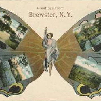
Putnam County: Then and Now
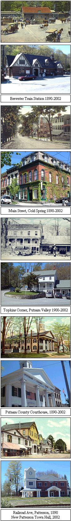
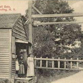
Like so many 18th and 19th century communities, most of Putnam’s Towns and Villages grew up around transportation nodes. Getting goods to market over dirt roads in order to bring them to New York City fostered the development of turnpikes. Centers coalesced literally at the intersections of these crossroads perhaps most notably in Putnam Valley.
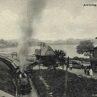
Waterways were also important transportation systems and sources of power for industrial growth. River communities both along the Hudson and the East Branch of the Croton River were important centers of commerce.
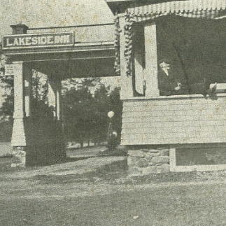
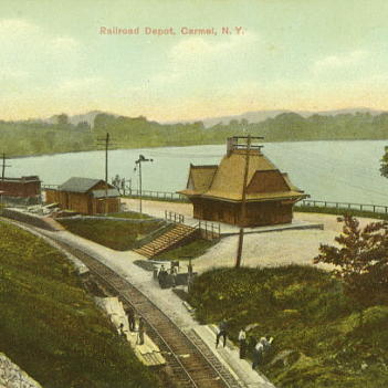
Still serving Putnam’s eastern and western towns and villages, the train also served many smaller hamlets through the 1950’s. Other businesses, hotels, residences and civic life complemented the activities at the railroad stations.
Today, perhaps we note that it is the Interstate exit that drives development. Once again, it is about getting from one place to the next. However, the modern system of freeways and interstates with paved roads is about the individual and moving him/her faster and faster through our communities.
The Developing Town Centers
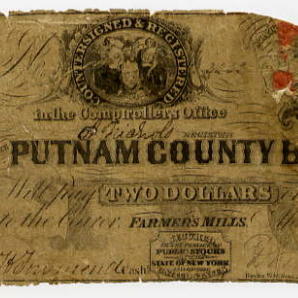
Putnam’s early communities had very real industrial and commercial activities that were enhanced by access to transportation systems – from mining, foundries, condensed milk factories, cigar factories, hat-making, chair and furniture-making industries, and scissors factories to many other smaller commercial ventures.
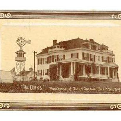
In the early to mid-20th century however, Putnam communities also developed around vacation places and through the development of planned suburban communities, i.e. Putnam Lake in the 1930’s. Today, we have planned sub-divisions, away from town centers.
Access to vacation and planned communities, enhanced by upgrades to transportation systems -- especially paved roads – shaped continued development of residential areas. In fact, today there is some argument to keep unpaved roads for reduction of traffic and vehicle speed on those few remaining dirt roads in our county.
All of these processes for village, town development had similar characteristics, they fostered centers of activity: civic, religious, business and residential components. The only difference was in size of this central business and civic “downtown” district.
Throughout the later part of the 19th and up through the 21st century however, economies, demographics and topography shifted – literally. We had the taking of lands for the reservoirs in the later 1800’s. Some of our older communities like “Thomasville” in Brewster no longer appear on maps – they are under water. Construction of these waterways continued through the early 20th century. The building of Interstates 684 and 84 in the 1980’s created new divisions not only on maps, but also in our historical links. The landmarks on our older roads seem less important and forgotten in our memories as newer residents moved in.
The Future
While our towns and villages have witnessed sprawling expansion – have our town centers changed fundamentally – or do we to find that they embody a sense of identity and purpose that continues to serve the needs of a 21st century community?
Historically, crossroads are meeting points – “I’ll meet you at the corner of Main and --”. They are physical identifiers for a specific town or village, serving as the core reference about how we view the places we grew up in.
We should also look at crossroads as a journey through the past and as a symbolic and concrete ‘marker’ in our planning processes for reviving, re -building, and enhancing the life of our communities.